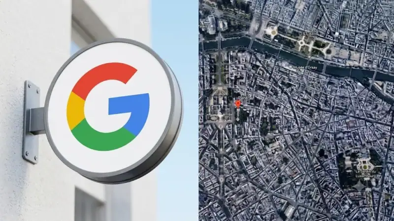
Google has pulled an AI tool from Google Earth on Friday after researchers and verification experts raised concerns over misinformation.
The tool, launched on Thursday, integrated Nano Banana 2 technology into Google Earth. The feature allowed users to zoom into locations and create pictures within seconds by using data from satellites, airplanes, and 3D mapping.
Google promoted the tool as a way to “visualize history, create real estate plans and more.”
A Google spokesperson confirmed the decision in a statement to an international media outlet. “We’ve seen geospatial professionals using this feature for a range of useful purposes, however we’ve also seen people sharing screenshots of generated imagery that appear to violate our policies,” the spokesperson said. “So we’re rolling back this feature in Google Earth while we work on implementing stronger guardrails.”
The spokesperson added, “We know that people uniquely trust Google Earth for a reliable view of the world.”
Researchers warned that actors could exploit the platform to create fakes.
Brady Africk, an analyst at the American Enterprise Institute said that the update allowed users “to generate convincing fake satellite imagery that can spread quickly online and mislead the public.”
Africk stated that fakes “erode public trust in satellite imagery, and make the jobs of journalists and researchers more difficult.”
Google responded to critics on X by stating that media from the tool contained SynthID watermarks. “We take misinformation seriously,” the company wrote.
The company removed the “create image” button after pausing access.
Image fabrications previously impacted markets and media platforms. In 2023, an AI image showing an explosion at the Pentagon shook markets.
Ross Burley, executive director at the Centre for Information Resilience (CIR) said that the tool created risks. “Trust in satellite imagery has taken decades to build and could be irrevocably damaged overnight,” Burley said.