
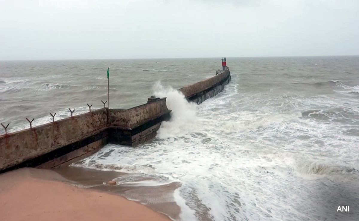
The National Disaster Management Authority (NDMA) has said that Cyclone Biparjoy made landfall at 7pm on Thursday evening along the coast of western Indian state Gujarat, 125km southwest of Sindhi port Keti Bandar.
According to the Joint Typhoon Warning Center, Biparjoy was equivalent to a strong tropical storm with winds of 100 kph at landfall.
However the storm has weakened from a ‘very severe’ category to ‘severe’ as it moved northward in the early hours of Friday. The dangers of winds and storm surge are expected to diminish.


Experts worry flooding will become the most significant factor for millions of people over the next 48 hours. The Pakistani meteorological department warned of widespread dust storms and thunderstorms in the southern Sindh province, with some very heavy rain and winds of 80-100 kph.
The Impact of Biparjoy:
India and Pakistan evacuated more than 170, 000 people along the coast in fear of Biparjoy. No cyclone-related deaths have been reported as yet.
However, there has been a trail of destruction left behind in the wake of heavy wind and rain. In Gujarat, more than 500 trees have been uprooted and nearly 3500 electric poles collapsed due to Biparjoy.
The storm is expected to weaken first to a cyclonic storm and then to a depression over Southern Rajasthan by today’s evening.


